Sold to temple night club people. Oaklandside article
https://oaklandside.org/2023/03/09/oakland-greyhound-bus-station-abandoned-history-underground-raves-party-alden-global/?mc_cid=81871982da&mc_eid=ff00583bfa
This article from the November 1926 issue of Architect & Engineer describes the building when it was new - it was originally called the Union Stage Depot.
https://archive.org/details/architectenginee8626sanf/page/n425/mode/2up?q=swartz
https://www.davidrumsey.com/luna/servlet/detail/RUMSEY~8~1~272074~90045821:Good-Natured-Map-of-the-United-Stat
An image from the 1912 Sanborn Fire Insurance Co. map. Visible are pasted on corrections through the year 1935. It seems this building was completed in 1926.
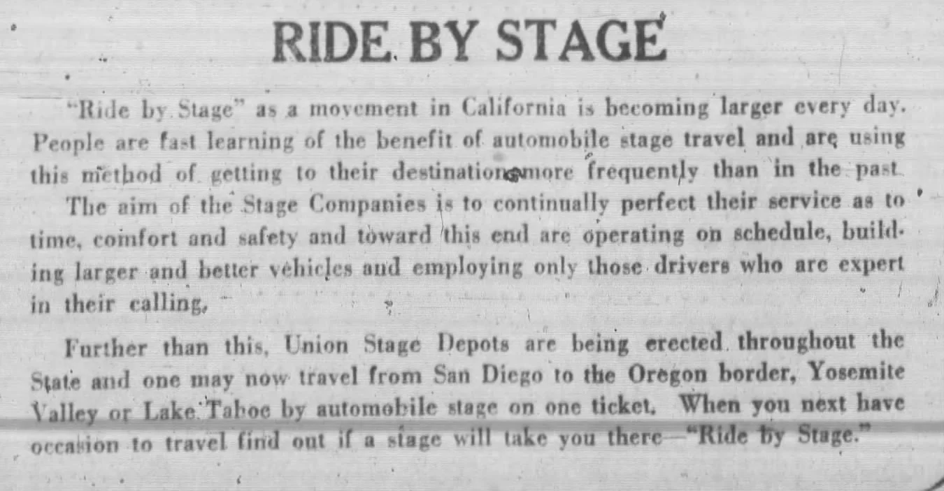
Also attached is an article about the construction of the building from April 2 1926, as well as a blurb from an advertisement that describes what riding by stage means (Feb 1, 1920).
Below is a snip from the citywide preliminary survey map (1980s). The station is shown with a rating of Ea3, used to be Highest Importance, remodeled out of recognition. Retroactive contingency "A" was based on published photo in Architect & Engineer or similar - probably searchable. Now that the remodeling is Old, I suppose Da3 would be a reasonable rating.
Original permit was A15500, 4/8/26, owner Union Stage Depot, builder L.H. Nishkian (engineer), arch. Swartz & Ryland, 1 story concrete stage depot, San Pablo between 20th & 21st, $70,000, plans listed as being on file with City. I don't believe there is much else in the OCHS file beyond some general Greyhound history.
Remodeling permit B390055, 9/18/51, $16,000 , architect Alben Froberg. There are also a couple of mid-1940s permits, B1941 and B5727, which might show up on the online microfiche "kiosk" when/if we get it back.
The dome was exhumed (dropped ceiling removed) approx. 10-15 years ago.
District status on the map is "3", not in a district. There's a 19th & San Pablo district (scan attached, east side of the street no longer with us), and a 20th & San Pablo commercial/utilitarian ASI that was a 2-sided block with 4 buildings but the north one is no longer with us. The information you describe from the GIS looks like a transcription error.
https://savingplaces.org/stories/five-historic-greyhound-stations-live-on-with-new-uses
https://buffaloah.com/a/main/672/index.html
https://www.thedmna.org/historic-signage/first-avenue-and-7th-street-entry/
https://www.bruburgerbar.com/location/bru-burger-bar-evansville-in/
https://www.houstonchronicle.com/news/houston-texas/transportation/article/greyhound-leaving-downtown-houston-for-east-end-18520258.php
https://www.greyhoundinntx.com
https://www.bloomberg.com/news/features/2026-02-06/the-second-lives-of-streamline-moderne-greyhound-bus-stations?srnd=phx-citylab